One can only wonder why the state government doesn't make
decent maps available to the public.
View Larger Map
Here's our original self drawn map circa 2006:
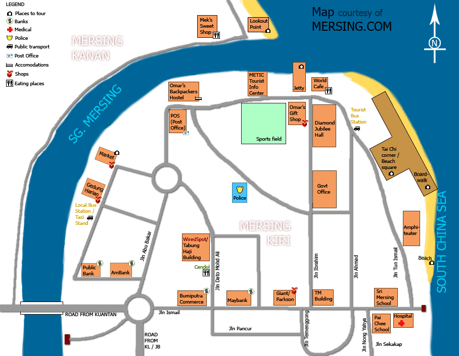
Click for a larger version (about 70K).
A bit of trivia:
This map above shows Mersing Kiri ( Mersing left, bottom of map), while across the river is Mersing Kanan ( Mersing Right, top of the map). The two sides of town were named from the perspective of a boat as it sails into the mouth of river Mersing.
Right being the north side and Left Mersing being on the southside as seen from the sea.
My grandad told me a story of how he came to Mersing by steamship in the 1920's and this must have been the way that coastal towns were connected, not by road but by sea.
No comments:
Post a Comment